
Clermont ZIP Directory Coverage
Three core ZIPs frame most Clermont searches: 34711, 34714, and 34715. They overlap the incorporated city, nearby unincorporated Lake County, and the edges of neighboring communities. The table describes defensible search areas, not surveyed boundaries. USPS remains the authority for delivery codes, and the Lake County Property Appraiser supplies the parcel's municipality or millage group.
| ZIP Code | Areas Covered | Post Office | Notes |
|---|---|---|---|
| 34711 | Downtown, core, central, south, and east Clermont plus nearby postal territory | Clermont retail delivery facilities | Primary city ZIP; crosses the city line |
| 34714 | South Clermont postal area along US 27 toward Four Corners | Clermont-area delivery | Much is unincorporated Lake County |
| 34715 | North Clermont and Minneola-adjacent postal territory | Clermont-area delivery | Check Minneola and county jurisdiction |
| 34736 | Groveland regional context | Groveland | Use only for an exact verified address |
| 34787 | Winter Garden and west-Orlando regional context | Winter Garden | Not a general Clermont ZIP |
The Census place interface may associate Clermont with all five listed ZCTAs, which are statistical ZIP approximations. That association does not prove that 34736 or 34787 generally serves incorporated Clermont. Keep those fringe codes tied to an exact parcel. This Clermont ZIP code directory therefore labels them as fringe context. No authoritative static split history or station-by-ZIP table was found, so no unverified realignment year or post-office name should be inferred.
Verify a Clermont ZIP
The USPS city and state ZIP lookup is the proper first check for postal delivery information.
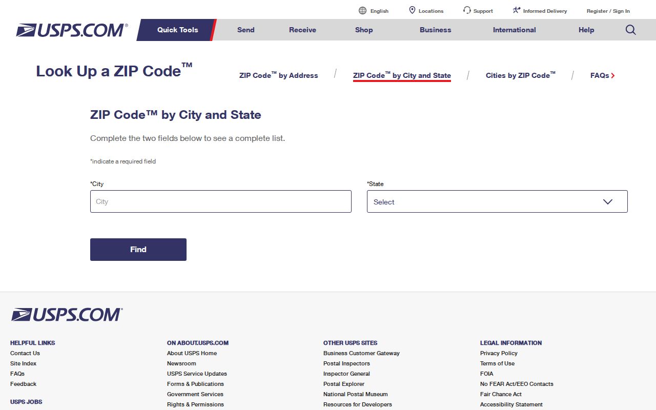
The result confirms a delivery code, not incorporation. Search the exact address rather than assuming that every code associated with the place name covers the city. For 34736 and 34787, an exact USPS result and parcel check are essential before describing an address as Clermont.
A city-and-state query can still be broad. Address validation is stronger because it standardizes the street line and may supply ZIP+4. Save the query date. USPS routes can change, and a directory copied from an old source may no longer match current delivery practice.
Why Clermont 34714 Spreads South
The 34714 postal area follows the south Clermont corridor along US 27 toward Four Corners. Much of that territory is unincorporated Lake County. A mail label may say Clermont while zoning, permitting, or code records belong to the county. This is the clearest local example of why postal geography cannot stand in for a municipal map.
Start with the parcel's situs address and municipality or millage group. If it lies outside the city, switch from Clermont eTRAKiT and city departments to the correct county route. Deeds and assessment records remain county-centered either way. For a resident search, keep the postal city and legal jurisdiction as separate facts.
Geography check. A Clermont postal address is not proof that the parcel is governed by the City of Clermont.
Check Clermont 34715 Carefully
ZIP 34715 serves northern Clermont and Minneola-adjacent postal territory. The city line, Minneola context, and unincorporated parcels can sit close together. A neighborhood name or postal label is not enough to select the right custodian. Use the standardized address, parcel record, and current boundary information as a three-part check.
Map context also prevents false matches when streets share similar names across growing subdivisions. Parcel numbers and legal descriptions are more stable keys than a remembered neighborhood label. If an address has changed, recorded plats and deed descriptions can bridge the old and new forms without inventing a citywide renumbering event.
Find Clermont Residents by ZIP
ZIP-wide research uses data that can be grouped, not a public list of every person. The state voter extract contains nonexempt address and ZIP fields. Lake County tax-roll downloads and GIS data can group parcels even when a simple property screen has no ZIP box. USPS validates delivery geography, while the appraiser checks legal jurisdiction.
- Enter the street address in the USPS tool and keep the standardized city, state, ZIP, and ZIP+4 that it returns.
- Find the same site in Lake County property data. Record the parcel, situs, municipality or millage group, and owner mailing address.
- For aggregate work, group public tax-roll or GIS fields by ZIP. Do not treat an owner list as a list of occupants.
- Request the existing statewide voter extract when lawful ZIP analysis is needed. Preserve its date and accept that protected voters are removed.
Once a postal area has been narrowed to an address or named road, the Clermont street directory explains the parcel-level path. eTRAKiT can then add permit or inspection history for incorporated parcels, but it is not a complete ZIP-wide resident roll.
Group Clermont Parcels by ZIP
The Lake County Property Appraiser's public tools are strong at the parcel level. ZIP grouping may require downloadable tax-roll data or GIS fields instead of the basic search screen. A useful export keeps the roll year, parcel or alternate key, situs ZIP, owner mailing ZIP, legal description, municipality, and public ownership fields distinct.
The Lake County Tax Collector search provides a related tax view.
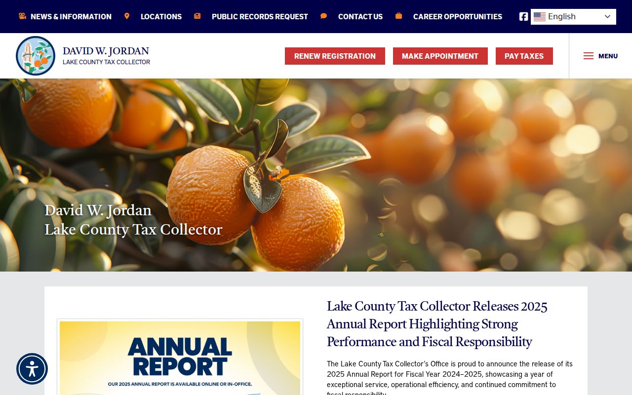
Tax data can confirm the parcel account and payment context, but it does not identify every person at the site. Pair it with appraiser and GIS fields before drawing a ZIP-wide conclusion.
| Field | What to preserve | Why it matters |
|---|---|---|
| Situs ZIP | Physical property's postal code | Groups land by delivery area |
| Mailing ZIP | Owner's tax-mail destination | May be outside Clermont |
| Municipality | Current city or county jurisdiction | Selects permit custodian |
| Parcel key | Official assessment identifier | Prevents address-name confusion |
Clermont Voter Data by ZIP
Florida's statewide voter extract is the documented route for ZIP-level election-record analysis. It contains active and inactive registrations through the prior month on a published schedule. Requests must meet the stated deadline, and the state distributes the file by disk through mail or pickup rather than a direct web download.
Filter the nonexempt residence ZIP after receipt. Keep the extract date, registration status, county, and precinct. Social Security and driver-license or state-ID numbers, application source, and protected voter records do not appear for public use. A row proves what the election record reported at that time. It does not prove current physical presence, and it excludes nonregistered people.
Note: Florida's published 2026 monthly schedule is current operational information, so verify the release page before sending a request.
Clermont ZIP Name Leads
ZIP geography can help test a name lead without turning into a household claim. Florida Unclaimed Property searches names and may reveal a reporting clue from a former address. It remains a lead, and a claim requires proof.
The Florida Unclaimed Property program provides the official search and claim route shown below.
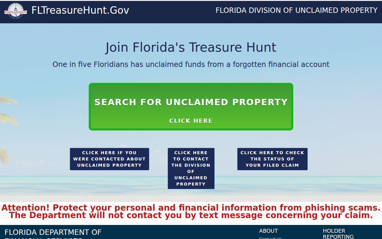
Compare any Clermont ZIP clue with a dated official record. Do not merge people who share a name, and do not treat a past reporting address as present residence.
Clermont Growth Shifts ZIP Context
Official profiles illustrate how timing changes geographic totals. The inspected Census profile reported 43,021 people and 15.9 square miles, while a newer city promotional map cited about 49,012 people across 20.01 square miles. The difference likely reflects profile vintage and boundary timing. It should not be used as a direct population trend without matching dates and definitions.
For Clermont ZIP analysis, the lesson is practical. Label the year, geographic unit, and source beside every total. A city figure, a ZCTA figure, and a postal delivery area count describe different shapes. Clermont's irregular growth toward Groveland, Minneola, Montverde, and Four Corners makes a current parcel check more reliable than a fixed neighborhood list.
Clermont ZIPs Versus City Limits
USPS assigns a preferred mailing city for delivery. Clermont draws its legal boundary through incorporation and annexation. The two geographies do not have to match. A 34714 Clermont mailing address may be in unincorporated Lake County, while the northern 34715 area requires a parcel check against Clermont, Minneola, and county territory. This determines which office keeps zoning, permit, and code records.
Use the official Clermont boundary map for city context, then rely on the parcel's current jurisdiction field for the exact site. Growth and annexation make saved maps and old ZIP lists stale. The owner mailing address can also point to a different ZIP than the land's situs address, so label both fields.
- ZIP vs ZIP+4
- A five-digit delivery area versus its four-digit add-on for a smaller delivery segment.
- PO-box ZIP
- A code used for post-office boxes rather than normal street delivery.
- Unique ZIP
- A code assigned to one large-volume recipient. None was verified for Clermont.
- Carrier route
- A postal delivery path within a ZIP, not a city or neighborhood boundary.